The application of GIS technologies and high-precision digital photogrammetry in forest planning and forest fund management, including in other areas of forestry interest.
Goals
- creation of GIS databases;
- updating existing GIS databases;
- obtaining recent cartographic products with high precision;
- mapping the forest fund with the help of data obtained using UAV;
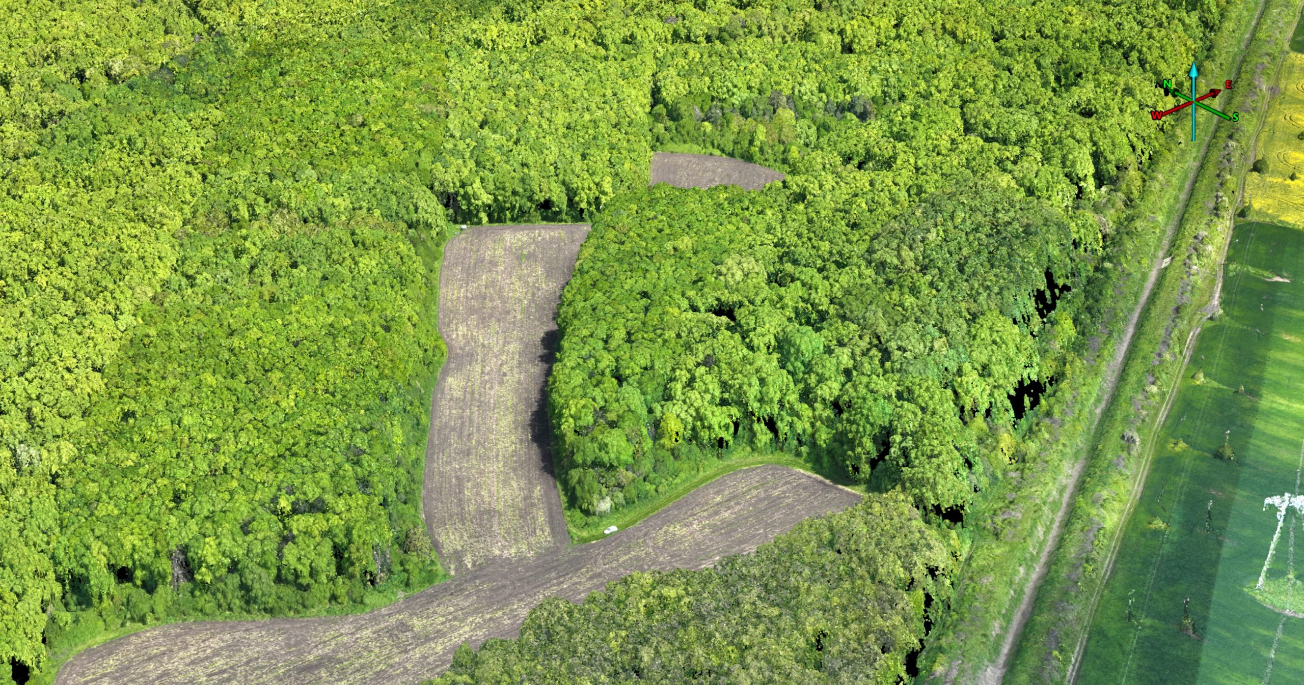
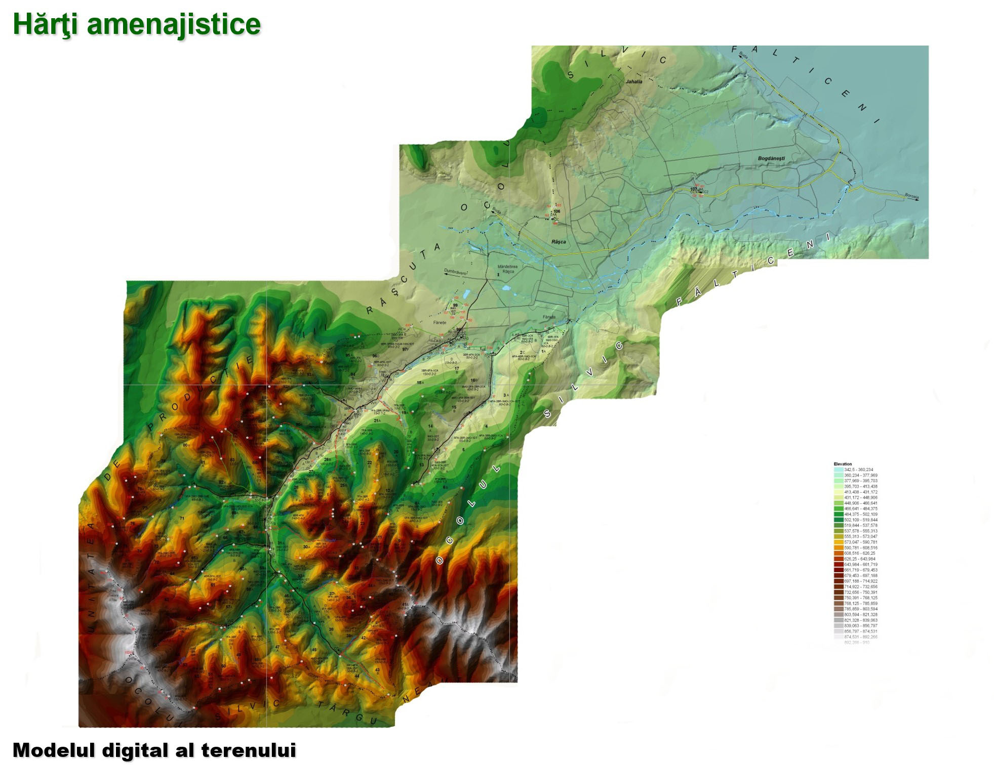
- obtaining the digital model of the land;
- obtaining the latest digital surface model (DSM);
- performing thematic flights in difficult conditions with UAV systems equipped with various sensors.
Resources
HR
Within this technological development activity, the total number of specialists is 26 of which: 1 doctor in forestry; 16 with higher education and 7 with secondary education, within the INCDS Center and 2 subunits of INCDS (SCDEP Braşov and SCDEP Pitești).
Material resources
In order to carry out technological development works and achieve the expected results, INCDS “Marin Drăcea” has a modern infrastructure specific to technological development.
The equipment available for field data collection and processing is modern, specialized and compliant with standards. It is mentioned here:
- office and field computers;
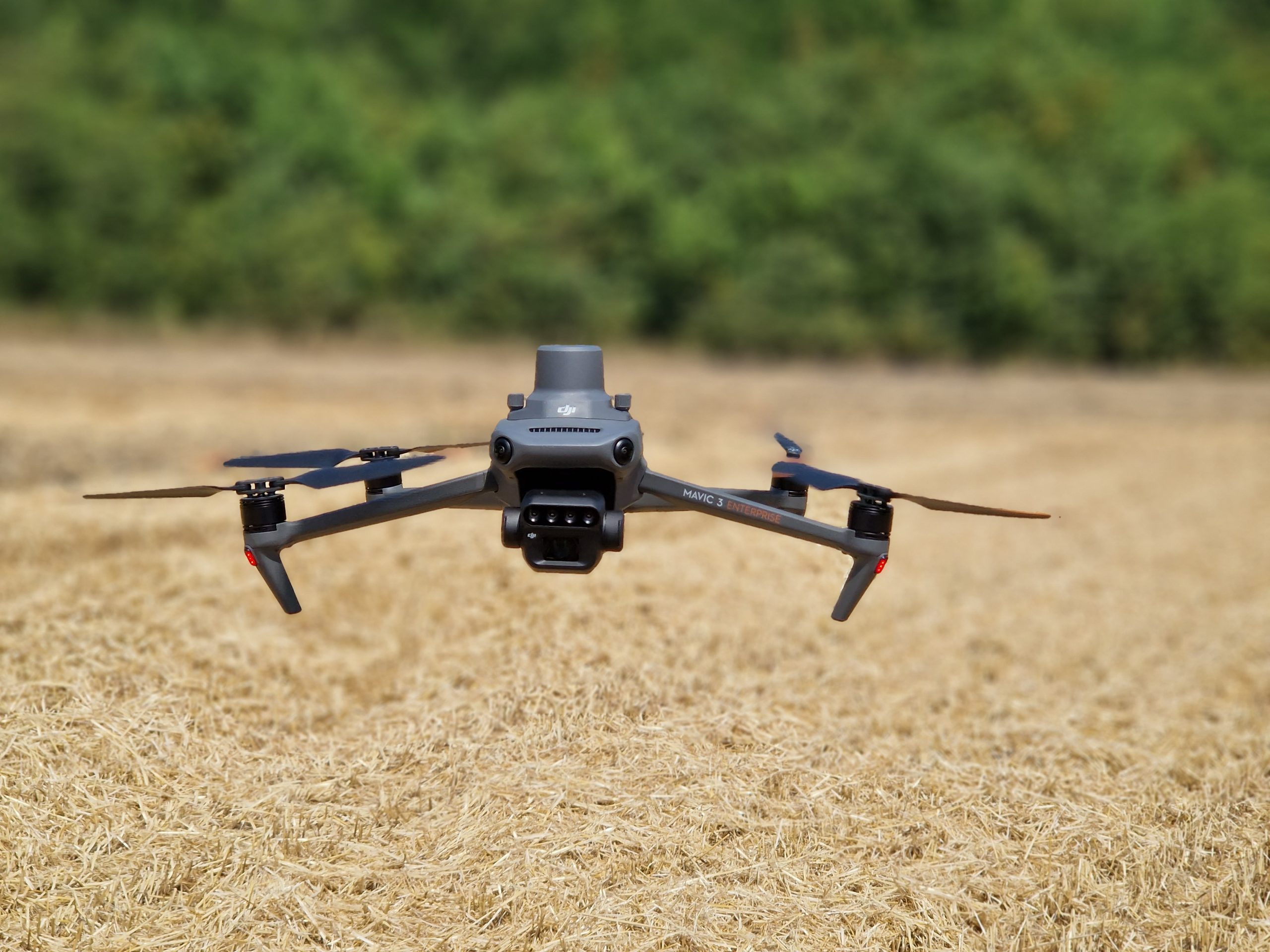
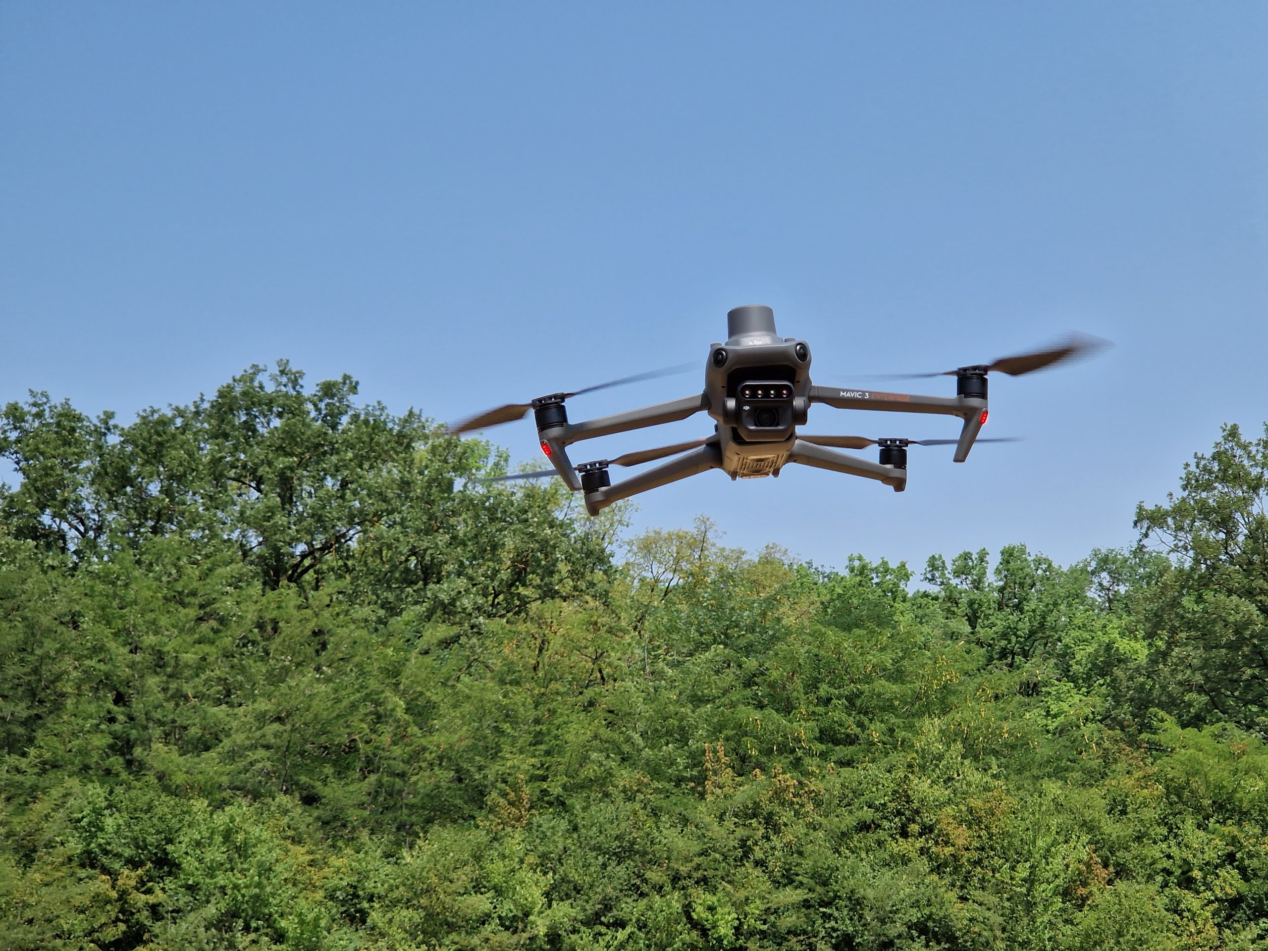
- drones (Unmanned Aerial Vehicle – UAV) with RGB, multispectral and RTK sensors;
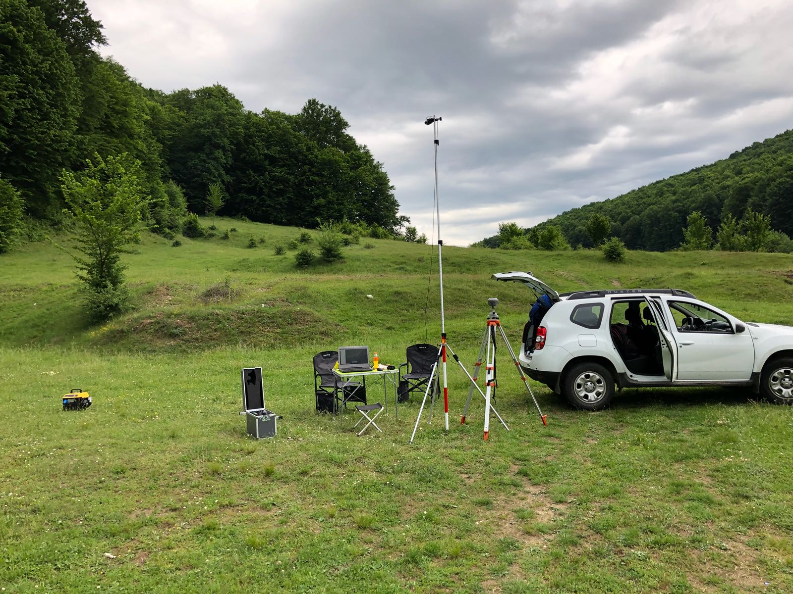
- topographic class GPS equipment and related software;
- image processing software – Pix4Dmapper Pro;
- GIS software, their extensions ESRI ArcGIS, open source solutions – QGIS, etc;
- peripheral equipment (scanners and map plotters, printers, copiers, etc.);
- off-road vehicles.
Development services
Technology and data transfer for:
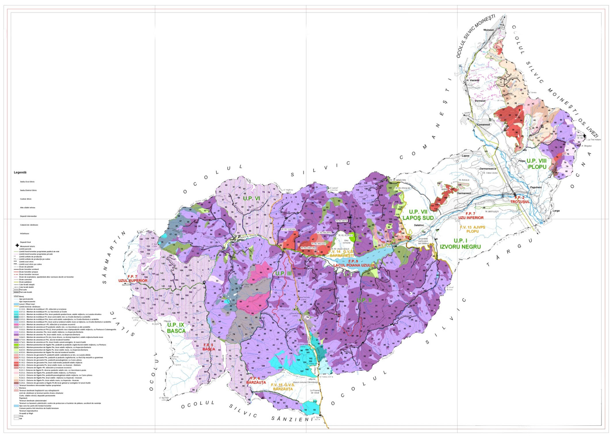
- forest management;
- forest cadastre;
- correction of torrents;
- shelter-belt;
- ecological reconstruction;
- design of forest roads;
- pedo-stationary evaluations;
- forest protection;
- maintenance, exploitation and regeneration works;
- assessment of disaster areas;
- providing services specific to cadastral works (cadastral documentation for registration in the cadastral records and land register, dismemberment/combination, reconstitution of property boundaries, specialized consultancy);
- providing services specific to engineering works (topographic surveys, building surveys, longitudinal and transversal profiles, layouts).
Relevant projects
- The use of digital photogrammetry in forestry: obtaining orthophoto plans, basic topographic plans at a scale of 1:5000 and the digital model of the land;
- The use of GIS techniques in the development of forestry facilities;
- Works on the use of GIS techniques in the development of forestry facilities;
- Study on the standardization of databases for the ArcGIS platform;
- Staff training in the use of GIS, GPS techniques; cartographic and photogrammetric products in forestry.
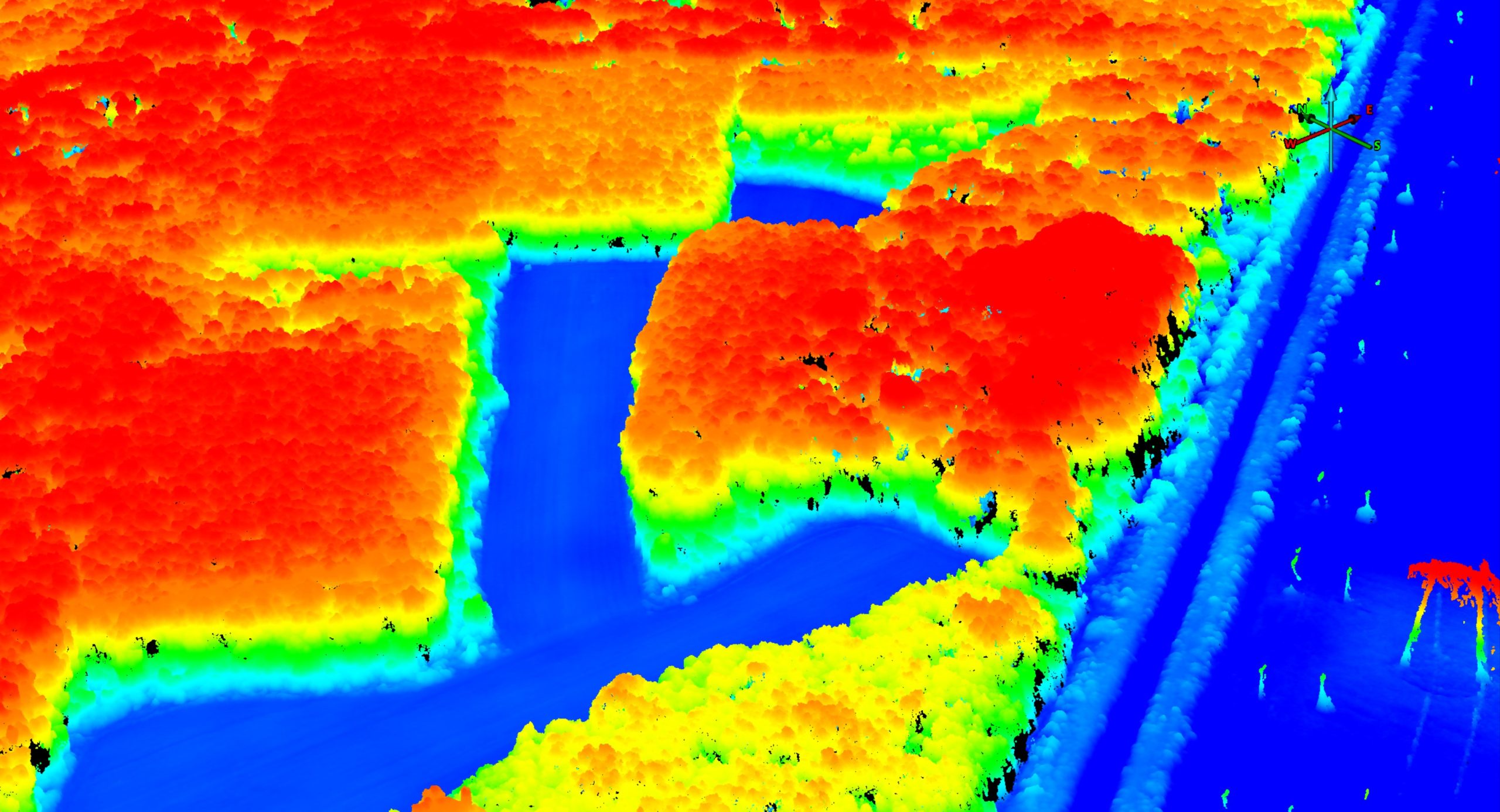
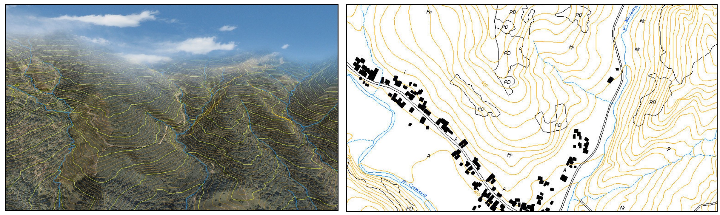
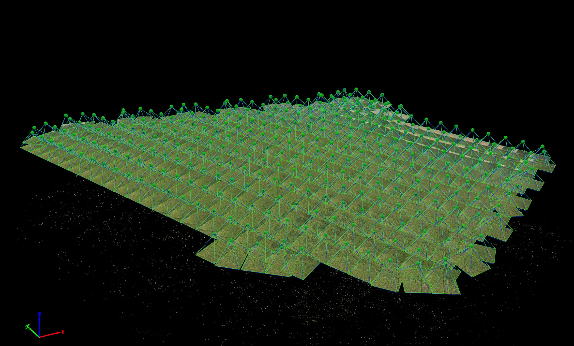
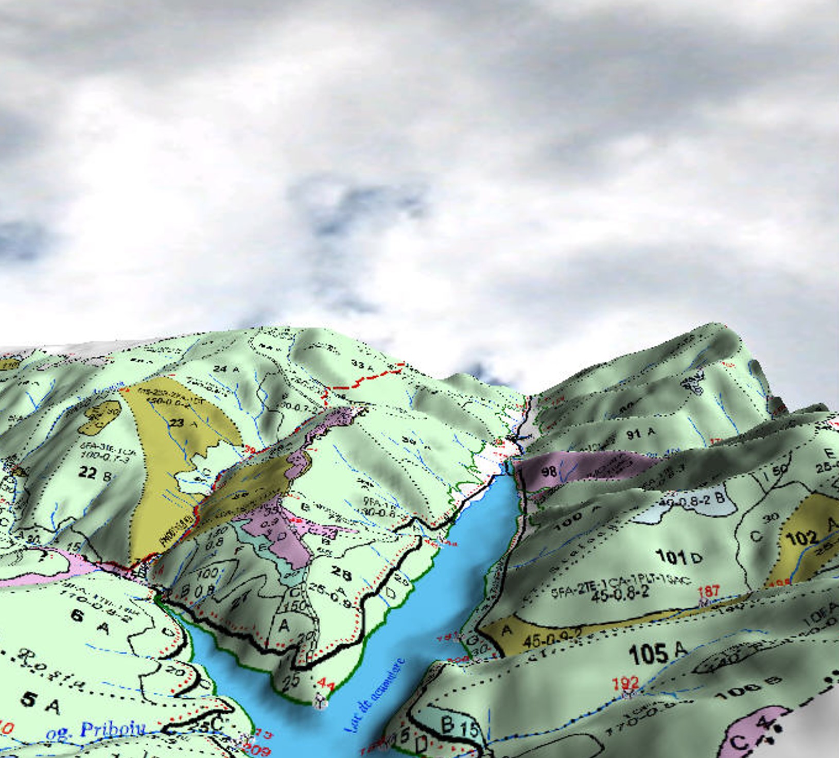
Photo gallery